- Photos & Map
How would you like to arrive?
- Description
- Waypoints
- Good to know
- Nearby
Download GPX file
- 0:55 h
- 3.49 km
- 49 m
- 49 m
- 259 m
- 308 m
- 49 m
- Start: Terminus "Biesnitz/Landeskrone" Görlitz
- Destination: Terminus "Biesnitz/Landeskrone" Görlitz
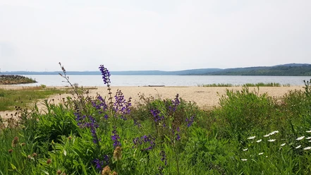
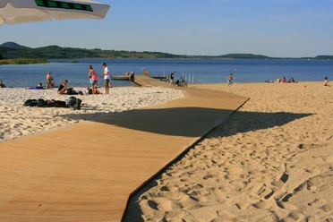
The Görlitz Landeskrone is the famous landmark of the city of Görlitz and a popular excursion destination. The circular route around the Landeskrone is an alternative to climbing to the summit. The approximately 3.5-kilometer-long route offers well-maintained paths and is therefore also suitable for wheelchairs and walkers. The path mostly leads through forest along the foot of the Landeskrone, providing pleasant shade and making it an ideal destination even on hot days. Regular benches along the route invite you to relax, take a break, and enjoy nature. Inquisitive visitors can also explore the bee educational trail Görlitz/Schlauroth, which begins very close to the route and runs towards Schlauroth, offering interesting facts about bees and honey production.
Waypoints
Good to know
Pavements
Best to visit
Directions
The route starts at the terminus "Biesnitz/Landeskrone" and follows Schlaurother Straße heading west. From there, it continues along Schönberger Straße heading south. Schönberger Straße is left towards Pfaffendorfer Weg. After about 750 meters, the route leaves Pfaffendorfer Weg heading northwest. It then continues along the forest edge to the beginning of the fitness trail. From there, it continues along the forest edge heading north to Schlaurother Straße. From there, it continues east until it reaches the starting point again.
Tour information
Loop Road
Suitable for Pushchair
Directions & Parking facilities
You can reach the Landeskrone via the following transport connections:
- Promenadenstraße from the direction of Görlitz center
- At the Landeskrone from the direction of Kunnerwitz
- Schlaurother Straße from the direction of Schlauroth
Parking is available directly at the terminus of train line 2 as well as at the "Landeskrone parking lot" (free of charge). The parking spaces are available all day.
You can take the train (line 2) from Görlitz station to the terminus "Biesnitz/Landeskrone."
https://www.goerlitztakt.de/uploads/Fahrplaene/gvb_fahrplan_Linie2.pdf?v=2
The starting point can also be reached by bus line F.
https://www.goerlitztakt.de/uploads/Fahrplaene2023/Linie_F.pdf
Accessibility on trams and buses is not always guaranteed.
Author
Tourismuszentrum Naturpark Zittauer Gebirge
Organization
Das Landschaftswunderland Oberlausitz
License (master data)
Safety guidelines
Compilation of points critical for wheelchair users
- Schönbergerstraße GPS 51.132791, 14.938779, incline of 8% over 60 meters
- Drain channel, lower circular path, GPS 51.127319, 14.935815
- Access to Schlaurother Straße, rough ground with a slope of 10-12% over 30 meters, GPS 51.133992, 14.931552
Nearby


