- Photos & Map
How would you like to arrive?
- Description
- Good to know
- Nearby
Download GPX file
- 9:05 h
- 134.04 km
- 247 m
- 247 m
- 91 m
- 157 m
- 66 m
- Start: Schkeuditz, Zwenkau, Taucha or Naunhof
- Destination: Schkeuditz, Zwenka, Taucha or Naunhof
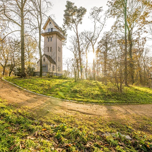
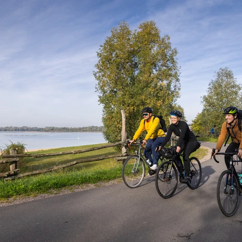
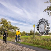
The fully signposted Grüner Ring Leipzig offers a trip through idyllic villages in the Leipzig region over a distance of around 135 kilometers. The route is linked with other bike paths such as the Elsterradweg, Parthe-Mulde-Radroute, Pleißeradweg and Neuseenland-Radroute and thus offers the possibility of exploring the beautiful region in stages.
Good to know
Pavements
Best to visit
Directions
The cycling route along the Grüner Ring Leipzig is fully signposted and includes distance information. It runs partly on independent bike paths, partly on roads.
Trail conditions: 62% asphalt surface, 38%, gravel road or path.
Tour information
Loop Road
Stop at an Inn
Equipment
Directions & Parking facilities
By car:
A38 and A14 (Albrechtshain), A9 and B6 (Schkeuditz)
Schkeuditz: Marketplace, Town Hall Square
Zwenkau: KAP Zwenkau, Laurentius church/Ritterstraße
Naunhof: Ungibauerstraße, Am Albrechtshainer See
Schkeuditz: S-Bahn station Schkeuditz: S3
Zwenkau: train station Großdalzig: train
Böhlen: S-Bahn station S3, S4, S5 and S5X
Taucha: Taucha station: S4 and train
Additional information
Grüner Ring Leipzig cycle route on leipzig.region.travel
Author
Christina Witt
Organization
LEIPZIG REGION
License (master data)
Author´s Tip / Recommendation of the author
Safety guidelines
E-bike charging stations:
- Böhlen: Karl-Bartelmann-Straße
- Makranstädt: Kulkwitzer See (west bank)
- Zwenkau: Harbor
- Schkeuditz: Rathuasplatz
- Rackwitz: Restaurant LEVANTE
- Brandis: Albrechtshainer See, Beucha train station, Lange Stücken sports park
- Rötha: Market
Map
Nearby
