Main hiking path ('Tree group') (Klingenbrunn Bahnhof - Bucina)


- 13:00 h
- 41.90 km
- 1,015 m
- 650 m
- Start: Klingenbrunn Bahnhof, 94518 Spiegelau
- Destination: Teufelshäng border crossing, 94151 Mauth-Finsterau
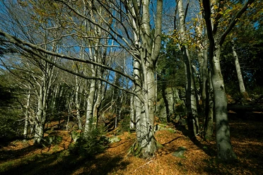
The Hauptwanderweg (Main Hiking Path) not only features the main tree species of the typical mixed forests in the National Park on its symbol (a group of trees with spruce, fir, and beech), but it also passes through various different habitats.
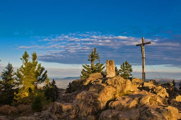
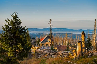
Starting at Klingenbrunn Bahnhof, the Hauptwanderweg (Main Hiking Path) leads through the Moorwaldsteg to the forest playground (Waldspielgelände) near Spiegelau. It continues along the edge of the Filzwald to Diensthüttenstraße and Guglöd. After passing through the mountain village of Waldhäuser, the trail takes you through the animal enclosure at the National Park Center Lusen. Later, you will pass the Felswandergebiet (rocky hiking area). Following the Steinbach stream, the trail leads into the Reschbach valley. The Reschbach accompanies you until you reach the Reschbachklause, from where you ascend to the summit of Siebensteinkopf and continue to the end of the Hauptwanderweg (Main Hiking Path) at the Teufelshänge/Bučina border crossing.
Good to know
Best to visit
Contact person
Hans-Eisenmann-Haus
Author
Nationalparkverwaltung Bayerischer Wald
Organization
Nationalparkverwaltung Bayerischer Wald
License (master data)

Nearby