- Photos & Map
How would you like to arrive?
- Call
- Description
- Good to know
- Nearby
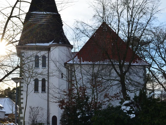
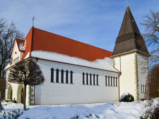
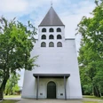
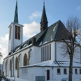
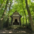
Grouped around the white church are the cemetery with a cemetery chapel, the elementary school, the Wapel floodplain including a water treading pool and the sports fields and playgrounds. So there is always something going on here.
Good to know
Openings
The times of Holy Mass are Sundays at 08:30.
General information
Parking Available
Bus stop available
Eligibility
Suitable for any weather
for families
for individual guests
Suitable for the Elderly
Payment methods
Entrance Free
Directions & Parking facilities
The train line Bielefeld - Paderborn takes you directly to Schloß Holte-Stukenbrock. The nearest bus stop is S.H - Liemke, Kirche, where line 84.5 stops. You can find out how to get here by public transport and, of course, how to get from A to B via OWL-Verkehr https://teutoowl.de/owlv/.
Schloß Holte-Stukenbrock is easily accessible by car via the A33 highway with two highway exits (Schloß Holte-Stukenbrock and Stukenbrock-Senne). From the Schloß Holte-Stukenbrock exit, take Oerlinghauser Straße to the left. Take the third exit at the first traffic circle and the second exit at the next traffic circle. At the end of the road turn right into Helleforthstraße and after 700 m turn left into Sankt-Michael-Straße. At the end of the road, turn left into Kaunitzer Straße and then immediately left again into Forellenweg. The destination is on the left-hand side.
From the Stukenbrock-Senne exit, turn right onto Paderborner Stund and follow this road for 1.9 km. At the end of the road, turn left onto Kaunitzer Str. and after 1.8 km turn onto Forellenweg. The church is on the left. The SHS 2 cycle path and the Grafschaftslauf run along this road.
Social Media
Author
Stadtmarketing Schloß Holte-Stukenbrock
Organization
Stadt Schloß Holte-Stukenbrock
Rathausstraße 2
33758 Schloß Holte-Stukenbrock
License (master data)
Stadtmarketing Schloß Holte-Stukenbrock
Nearby
