- Photos & Map
How would you like to arrive?
- Description
- Good to know
- Nearby
Download GPX file
- 18:00 h
- 42.41 km
- 2,843 m
- 2,838 m
- 770 m
- 1,868 m
- 1,098 m
- Start: Fischbachau Birkenstein
- Destination: Fischbachau Birkenstein
Day 1: Fischbachau Birkenstein - Kesselalm / walking time: 2:00h, ascent 421m, 2.7 km; with detour to Breitenstein: 3:00h, ascent 765m, descent 346m, 6.0 km
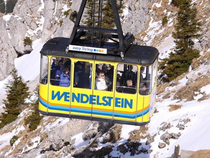
Day 2: Kesselalm - Wendelstein - Bayrischzell / walking time: 5:30h, ascent 596m, descent 1072m, 11.0 km
Day 3: Bayrischzell - Niederhofer Alm - Soinsee - Rotwandhaus / walking time: 6:10h, ascent 1351m, descent 422m, 14.7 km
Day 4: Rotwandhaus - Kleintiefental-Alm - Geitau - Fischbachau Birkenstein / 4:30h, ascent 212m, descent 1092m, 12.5 km
This route requires very good fitness, surefootedness, and a head for heights. Please contact the huts and overnight accommodation on the way to plan and reserve your overnight stays.
Good to know
Best to visit
Tour information
Loop Road
Loop Road
Stop at an Inn
Summit
Author
Regionalentwicklung Oberland
Organization
Alpenregion Tegernsee Schliersee
License (master data)
Nearby


