- Photos & Map
How would you like to arrive?
- Call
- Description
- Good to know
- Nearby
Download GPX file
- 1:29 h
- 4.74 km
- 155 m
- 149 m
- 178 m
- 263 m
- 85 m
- Start: Hiking parking lot Bergkirchen
- Destination: Hiking parking lot Bergkirchen
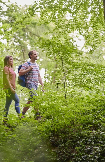
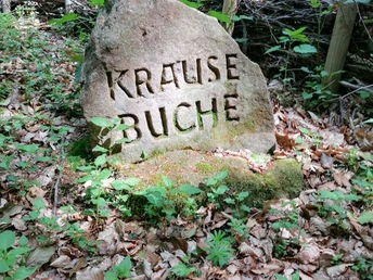
The Rundwanderweg A3 in the TERRA.vita Nature and Geopark offers a wonderful hiking route along the ridge of the Wiehengebirge. The starting point is the Bergkirchen hiking car park, from where the trail first leads along the slope to the Lutternsche Egge. The outward route follows the popular Wittekindsweg long-distance hiking trail, while the return route leads along the idyllic Liebesweg. Several hills along the way, such as the Volmerdingser Berg, offer wonderful views. A varied circular tour for nature and hiking enthusiasts!
Good to know
Best to visit
suitable
Depends on weather
Directions
The tour runs continuously on an easy forest path.
Route markings
A3
Tour information
Familiy-Friendly
Good Connection to public Transport
Labelling
Loop Road
Mainly Shady
Tour with Dog
Equipment
Sturdy shoes, weatherproof clothing, a first aid kit and sufficient food are recommended.
Directions & Parking facilities
Bergkirchen can be reached quickly and easily by car or bus from Bad Oeynhausen.
Hikers' parking lot Bergkirchen
Auf dem Berg 7
32549 Bad Oeynhausen
Auf dem Berg 7
32549 Bad Oeynhausen
A bus runs several times an hour from Bad Oeynhausen central bus station to the "Bad Oeynhausen Bergkirchen, Kirche" stop. Travel time: just under 20 minutes.
Additional information
Author
Staatsbad Bad Oeynhausen GmbH
Im Kurpark
32545 Bad Oeynhausen
License (master data)
Staatsbad Bad Oeynhausen GmbH
Nearby
