By train into the mountains: From Darching to the Fentberg viewpoint


- 3:15 h
- 12.32 km
- 203 m
- 204 m
- 606 m
- 806 m
- 200 m
- Start: Darching Station
- Destination: Darching Station
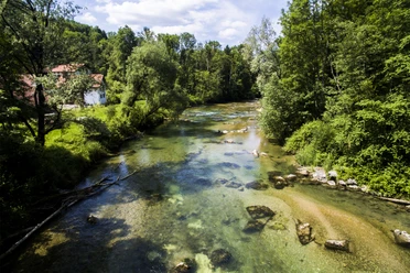
A delightful route straight out of a picture book: The loop from Darching is neither demanding nor does it have many elevation meters thanks to its gentle terrain. Nevertheless, it is scenic and varied.
The Taubenberg is one of many pretty (and often underestimated) hills in the Upper Bavarian Alpine foothills and a very popular destination, especially from its Warngau side. However, it is not so much hiked from Darching. This route also does not lead to the Taubenberg summit but to one of its northeastern spurs, the Fentberg.
Good to know
Best to visit
suitable
Depends on weather
Tour information
Cultural Interesting
Loop Road
Loop Road
Stop at an Inn
Author
Regionalentwicklung Oberland
Organization
Alpenregion Tegernsee Schliersee
License (master data)

Nearby


Download GPX file