Circular route ‘Waldmaus’ (Wood Mouse) - Hike to the Hochfels near Bayerisch Eisenstein

- 1:15 h
- 3.50 km
- 170 m
- 170 m
- Start: Railway station Bayerisch Eisenstein, Bahnhofstraße 54, 94252 Bayerisch Eisenstein
- Destination: Railway station Bayerisch Eisenstein, Bahnhofstraße 54, 94252 Bayerisch Eisenstein
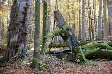
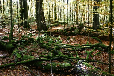
In close proximity to Bayerisch Eisenstein, you can experience wild National Park forests on a hike along the circular route ‘Waldmaus’ (Wood Mouse) and enjoy the view from the Hochfels (855 meters above sea level), which includes sights of Bayerisch Eisenstein and the Großer Arber (1,456 meters above sea level).
Good to know
Best to visit
- suitableDepends on weather
Tour information
Good Connection to public Transport
Labelling
Loop Road
Loop Road
Summit
Contact person
Haus zur Wildnis
Nationalparkzentrum FalkensteinEisensteiner Str. 2094227 LindbergAuthor
Nationalparkverwaltung Bayerischer Wald
Freyunger Str. 294481 GrafenauOrganization
Nationalparkverwaltung Bayerischer Wald
License (master data)

Nearby
Download GPX file