Circular Trail Auerhahn (Capercaillie) - Up to the Rachel: summit, chapel and lake


- 4:00 h
- 11.00 km
- 500 m
- 500 m
- Start: P+R Spiegelau or Parkplatz Gfäll
- Destination: P+R Spiegelau or Parkplatz Gfäll
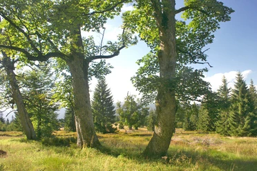
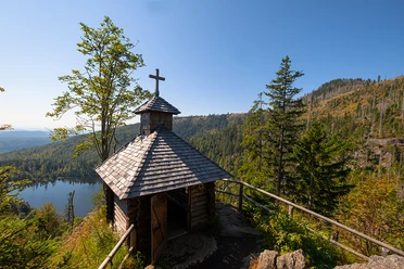
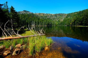
The highest mountain in the national park is known for alpine climbs and beautiful landscape. At the Seeblick (lake view), we have a fantastic view from the top to Rachelsee (Lake Rachel). We will also visit it after the summit crossing and partly steep passages downhill. Passing the Rachel Chapel and Lake Rachel, we hike through mixed mountain forests, which are among the wildest in the national park.
Good to know
Best to visit
- suitableDepends on weather
Tour information
Loop Road
Loop Road
Nature Highlight
Stop at an Inn
Summit
Sure Footedness/Head for Heights
Sure Footedness/Head for Heights
Contact person
Author
Nationalparkverwaltung Bayerischer Wald
Freyunger Str. 294481 GrafenauOrganization
Nationalparkverwaltung Bayerischer Wald
License (master data)

Social Media
Nearby
Download GPX file