- Photos & Map
How would you like to arrive?
- Call
- Description
- Good to know
- Nearby
Download GPX file
- 6:26 h
- 23.65 km
- 280 m
- 277 m
- 581 m
- 654 m
- 73 m
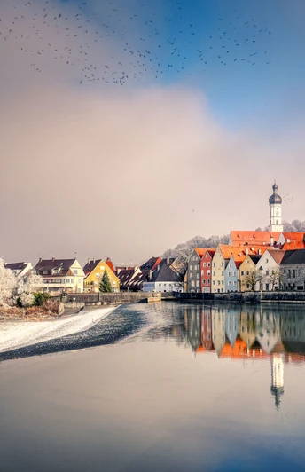
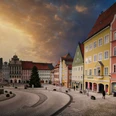
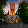
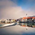
It leads through the city centre, along the water and through the nature trail.
Good to know
Pavements
Unknown
Best to visit
suitable
Depends on weather
Tour information
Barrier-Free
Bathe
Culinary Interesting
Cultural Interesting
Familiy-Friendly
Good Connection to public Transport
Labelling
Loop Road
Mainly Sunny
Multiday Tour
Nature Highlight
Possibility of Accommodation
Suitable for Bike
Suitable for Pushchair
Sure Footedness/Head for Heights
Tour with Dog
Nearby
![[ALLGEMEIN:ALLGEMEIN:Titel] English](http://img.destination.one/remote/.webp?url=https%3A%2F%2Fdam.destination.one%2F1378143%2F8f3791355e5a7fa281d6cfd236c2f1e34ad735ec55d6ff70b060afae67ecd771%2Fallgemein-allgemein-titel-english.jpg&scale=both&mode=crop&quality=90&width=116&height=116)

