- Photos & Map
How would you like to arrive?
- Call
- Description
- Good to know
- Nearby
- 3:45 h
- 10.00 km
- 480 m
- 10 m
- Start: Parking area Trinkwassertalsperre, Schachtenstraße, 94258 Frauenau
- Destination: Hochschachten
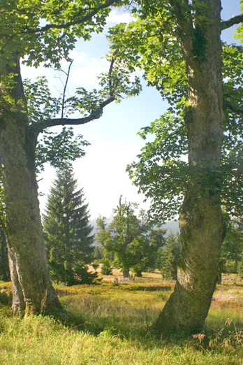
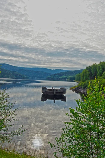
The 'Borstgras' (Mat grass) trail starts at the hiking parking area near the Frauenau Trinkwassertalsperre (Drinking Water Reservoir). After a short ascent to the dam crest, a rooty hiking path leads you along the reservoir and past a wooden hut until you reach Verlorener Schachten. In the further course of the hike, you will traverse peak bog meadows and wetlands, sometimes on boardwalks, until you arrive at the Almschachten and, eventually, at Hochschachten.
Good to know
Best to visit
suitable
Depends on weather
Contact person
Author
Nationalparkverwaltung Bayerischer Wald
Freyunger Str. 2
94481 Grafenau
Organization
Nationalparkverwaltung Bayerischer Wald
License (master data)
Nearby


