Holzkirchen Geo-Educational Trail - South Route

- 1:20 h
- 19.09 km
- 126 m
- 125 m
- 684 m
- 768 m
- 84 m
- Start: Holzkirchen Herdergarten
- Destination: Holzkirchen Herdergarten
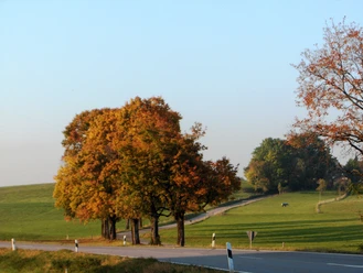
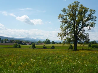
The southern part of the Holzkirchen Geo-Educational Trail, opened in 2021, leads into the hilly landscape between Holzkirchen, Kleinhartpenning, and Großhartpenning before returning to the market town via Sufferloh and Thann. Twelve competently designed display panels provide a good overview of the geological development of the Alpine foothills with a focus on the last Ice Ages.
Good to know
Best to visit
suitable
Depends on weather
Tour information
Loop Road
Loop Road
Stop at an Inn
Author
Markt Holzkirchen Standortförderung
Organization
Alpenregion Tegernsee Schliersee
License (master data)

Nearby
Download GPX file