- Photos & Map
How would you like to arrive?
- Description
- Good to know
- Nearby
Download GPX file
- 4:30 h
- 58.04 km
- 386 m
- 402 m
- 143 m
- 258 m
- 115 m
- Start: Leisnig station
- Destination: Leisnig station
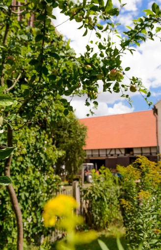
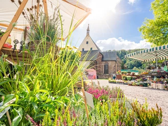
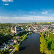
In the midst of Saxony’s largest fruit growing area, lies the “Obstland” Route. This loop trail meanders through a landscape shaped by culture and history. On 58 kilometres, it connects the villages of Mügeln, Leisnig and Dürrweitzschen where the long tradition of fruit growing can be experienced in different ways. While Mügeln and its environs focusses on the history of origin of the fruit-growing region, Leisnig is all about the life and work of the monks, and Dürrweitzschen provides insights into the current production processes. This is why the “Obstland” Route consists of three thematically different sections. You can either cycle these individual smaller stages or complete the large outer circular route.
Good to know
Pavements
Best to visit
Directions
Tour information
Loop Road
Stop at an Inn
Equipment
Sometimes, the difference in altitude can surprise you, which is why you might want to consider an e-bike.
Directions & Parking facilities
Please calculate ca. 1h by car.
A14 in direction of Dresden, exit Leisnig
- Car park at the market square
- Car park “Alte Feuerwehr”, Lindenplatz square
- Car park “Belvedere”, Poststraße street
Regionalbahn train (55 min.)
With the Leipzig Regio Card you are well-equipped!
Please note that Leisnig station is not wheelchair-accessible. Bicycles, wheelchairs, and strollers must be carried over a few steps.
Additional information
Author
Christina Witt
Organization
LEIPZIG REGION
License (master data)
Author´s Tip / Recommendation of the author
If you participate in the stamp collection campaign you will get a delicious juice after collecting three stamps. The issuing stamp locations are listed in the leaflet Obstland Flyer (in German language).
Safety guidelines
Map
Obstland flyer by Leipzig Tourismus and Marketing GmbH
Nearby
