- Photos & Map
How would you like to arrive?
- Description
- Good to know
- Nearby
Download GPX file
- 0:34 h
- 8.48 km
- 42 m
- 64 m
- 128 m
- 177 m
- 49 m
- Start: Church in Alfen
- Destination: Church in Alfen
Sights and interesting facts:
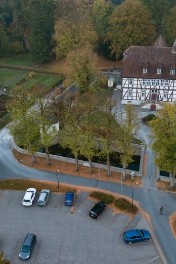
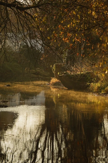
Catholic parish churches in Alfen and Nordborchen, Mallinckrodthof Nordborchen, confluence of the Alme and Altenau rivers
Good to know
Best to visit
suitable
Depends on weather
Directions
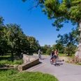
Starting point Alfen/Kirche -Salzkottener Straße in the direction of Salzkotten -Melkweg -Feldweg "Im alten Felde" -Alter Feldweg (approx. 2 km) to Nordborchen -Auf der Schweiz -at the entrance to the village turn right onto the Alme cycle path and along the Ranzenberg under the old railroad bridge to the road Hellenberg, follow the Alme cycle path to Alfen - turn right onto the road Am Kleeberg and back to the starting point.
Route markings
The Borchen cycle routes are signposted continuously from BO1 - BO7. There are white signs with green lettering, most of which are attached as inserts to the cycle destination signposts.
Tour information
Familiy-Friendly
Labelling
Loop Road
Possibility of Accommodation
Stop at an Inn
Suitable for Bike
Equipment
We recommend wearing a bicycle helmet and clothing suitable for the weather.
Directions & Parking facilities
The municipality of Borchen is well connected to the A33 via the exits "Mönkeloh", "Borchen" and "Borchen - Etteln."
Free parking is available at the parish church in Alfen.
Additional information
The route is partly identical to the Almeradweg.
The Almeradweg leads 68 km along the river from Brilon to Paderborn, more information can be found here: Alme-Radweg (paderborner-land.de)
The Almeradweg leads 68 km along the river from Brilon to Paderborn, more information can be found here: Alme-Radweg (paderborner-land.de)
More information
On the Borchen town hall parking lot, there are 2 free camper van parking spaces with electricity (0.50 Euro per kWh), fresh water (0.50 Euro per 50l) and disposal facilities. Further pitches are available.
Author
lokaler Redakteur
License (master data)
Nearby
