Schaftlach trail

- 1:39 h
- 8.28 km
- 26 m
- 31 m
- 754 m
- 778 m
- 24 m
- Start: Sports field Schaftlach Krottenthaler Straße or cemetery Schaftlach near the station or southern outskirts of Schaftlach MB6
- Destination: Sports field Schaftlach Krottenthaler Straße or cemetery Schaftlach near the station or southern outskirts of Schaftlach MB6
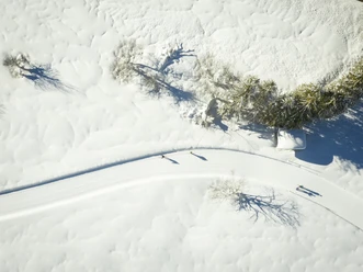
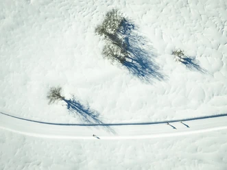
The trail runs sunny and slightly hilly in a large arc around Schaftlach and can be well combined with other Waakirchner trails using connecting trails. At the end, a cozy stopover at the Schaftlach hosts is recommended.
Good to know
Best to visit
suitable
Depends on weather
Tour information
Familiy-Friendly
Loop Road
Loop Road
Stop at an Inn
Author
Regionalentwicklung Oberland
Organization
Alpenregion Tegernsee Schliersee
License (master data)

Nearby

Download GPX file