- Photos & Map
How would you like to arrive?
- Call
- Description
- Good to know
- Nearby
- 0:10 h
- 9.69 km
- 254 m
- 221 m
- 214 m
- 392 m
- 178 m
- Start: Start and finish point at the Alte Dorfstraße / Duxenberg bus turning area in Schwelentrup
- Destination: Start and finish point at the Alte Dorfstraße / Duxenberg bus turning area in Schwelentrup
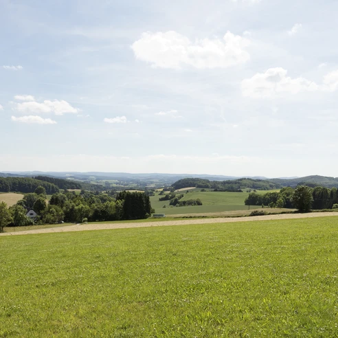
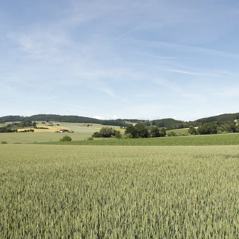
Starting at the bus turning area in the upper village of Schwelentrup, the circular route follows the Alte Dorfstraße downhill, turns right into Krusfelder Weg and crosses the Pampel farm with its large flock of poultry and the oldest Schwelentrup house dating back to 1586. The route continues along meadows and pastures, where you can get to know different breeds of cattle such as Piedmontese or Charolais. Leaving the cemetery on your left, you walk around it, keep to the right and walk through the open fields, slowly gaining altitude. Taking the right-hand path, you walk through an old hollow path that has been cut into the surrounding terrain by centuries of use by cattle and carts. You walk along the edge of the forest until you reach an altitude of 390 m.
From the Steinberg, a former rocket station, you have a magnificent view as far as the Hermannsdenkmal in the Teutoburg Forest on one side and the Weser Mountains with the Kaiser Wilhelm monument on the other. The trail then leads downhill to a path with springs. On the spur of the Mühlingsberg lies the imposing ramparts of Alt-Sternberg Castle (9th to 11th century). Further along the trail, you will see various breeds of cattle such as the Red Alpine cattle (an endangered livestock breed) and Piedmontese cattle on the pastures that slope down into the valley. You then walk relatively flat around the upper village of Schwelentrup with many wonderful views of the Lippe region and through varied mixed beech forests, where Galloway cattle graze on a scattered pasture during the grazing season. In addition to two shelters, numerous benches invite you to take a break
Trail markings: Marking sign with the inscription "Schwelentruper Höhenweg"
Good to know
Best to visit
suitable
Depends on weather
Documents
Contact person
Lippe Tourismus & Marketing GmbH
Mr. Jan Wisomiersky
Grotenburg 52
32760 Detmold
Author
Lippe Tourismus & Marketing GmbH
Herr Jan Wisomiersky
Grotenburg 52
32760 Detmold
License (master data)
The predominantly well-surfaced sections of the trail can be easily walked in hiking boots, normal low shoes, sports shoes or hiking sandals. The moderate ascents and descents on this tour are also suitable for less experienced hikers. Trail marking: Marker sign with the inscription "Habichtsberg"
Nearby
