Stadlberg round Hausham


- 2:05 h
- 13.05 km
- 247 m
- 248 m
- 722 m
- 924 m
- 202 m
- Start: Volksfestplatz Hausham
- Destination: Volksfestplatz Hausham
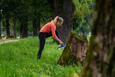
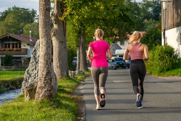
This demanding round first leads through Hausham and further via Althausham to Attenberg. From here begins a constant up and down: first through a small river valley, then up to Stadlberg with a great view of the Alpine foothills as well as the Alps. From the highest point it first goes downhill to Agatharied and then along the Schlierach back to the starting point in Hausham.
The 'Miesbach Hausham Running Park' is funded by the Bavarian State Ministry for Food, Agriculture and Forestry and the European Agricultural Fund for Rural Development (ELER). The opening will take place in autumn 2022.
Good to know
Best to visit
- suitableDepends on weather
Tour information
Loop Road
Loop Road
Author
Regionalentwicklung Oberland
Organization
Alpenregion Tegernsee Schliersee
License (master data)

Nearby

Download GPX file