- Photos & Map
How would you like to arrive?
- Description
- Good to know
- Nearby
- 10:30 h
- 34.90 km
- 1,400 m
- 1,400 m
- 434 m
- 873 m
- 439 m
- Start: Seelisberg, Rütli
- Destination: Brunnen
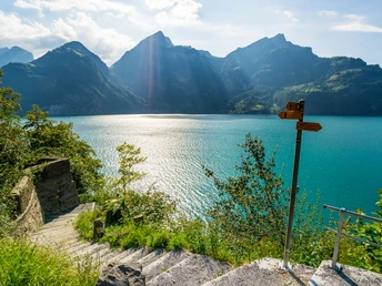
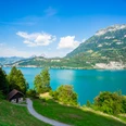
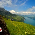
The Weg der Schweiz winds around the deep Lake Uri, sometimes high above, sometimes right on the shore. Sometimes it leads you over stairs carved into the rock, then again follows wide, comfortable paths past many rest and bathing spots. Time and again you enjoy a magnificent view of the lake and the surrounding mountains. Thanks to the boat services, you have a choice of many possible starting and end points.
The initiators succeeded in linking a maximum of home feelings to the path. At the center is the Rütli, an inconspicuous meadow emotionally charged by historical symbolism like probably no other place in Switzerland. The Tell’s Rock with the Tell Chapel is also part of the mandatory visit program.
The attachment of the Swiss people to this path is further strengthened by the idea that the Weg der Schweiz is divided into 26 cantonal sections. Their order corresponds to the cantons' joining the federation. The length of the cantonal sections is based on the cantonal population figures from 1991. At that time, each person symbolically received 5 millimeters.
Good to know
Pavements
Best to visit
Tour information
Cultural Interesting
Mountain Railway Tour
Stop at an Inn
Tour with Dog
Author
Jonas Ulrich
Organization
Schwyzer Wanderwege
License (master data)
Nearby

