- Photos & Map
How would you like to arrive?
- Description
- Waypoints
- Good to know
- Nearby
Download GPX file
- 5:07 h
- 17.86 km
- 505 m
- 505 m
- 341 m
- 484 m
- 143 m
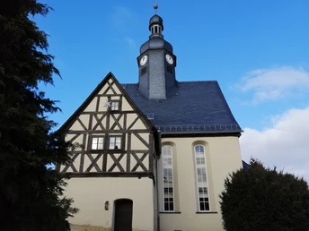
In Schönbach and Fröbersgrün there are popular places to stop and centuries-old churches.
Waypoints
Good to know
Pavements
Unknown
Street
Asphalt
Gravel
Trail
Best to visit
suitable
Depends on weather
Directions
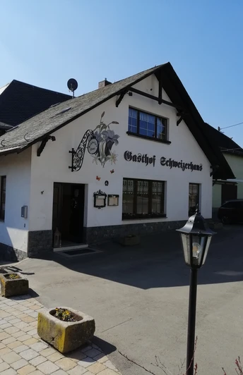
At the bus stop in the middle of Arnsgrün, you leave the town heading south, shortly cross the Bernsgrüner Bach and follow the field path over a hill with a good view to Frotschau. Immediately by the first houses, a field path turns off sharply to the left, where you already walk out of the town again. The path to Fröbersgrün is varied. On a field path you approach the forest area of the “Schiefer” and are now in the Free State of Saxony. After leaving the forest, the field path leads over a hill into Fröbersgrün. Near the church, crossing the main street, you walk uphill on Schönbacher Straße heading east out of the village. Soon you reach a crossroads where you turn left to shortly after see the small forest of “Katzenstein” on the right. Here you are again in the Thuringia Vogtland. The view reaches far into the land when walking down to Schönbach. There in the village, near the guesthouse, you must turn left. A wide field path leads into the Triebitzbach valley. Having reached the main road, you can turn left and immediately right again and after 2 kilometers uphill you reach Arnsgrün again. If you turn right after crossing the main road and follow a forest path uphill, you reach Eubenberg. In the center of the village, keep right and walk down a hollow way into the Büna valley, then climbing again to reach Leiningen. Walking around the small reservoir in the valley, follow a path uphill. At the top, go right for about 500 m on a side road, then turn left on a wide path to reach Büna. You pass through the village and go downhill into the upper Büna valley. Gradually ascending, the path leads to the highest point of this hike, the “Arnsgrüner Höhe.” Now it is only a few steps into Arnsgrün and back to the starting point of the route.
Tour information
Loop Road
Stop at an Inn
Directions & Parking facilities
You can reach Arnsgrün from the west via Mehlteuer (B 282 Schleiz-Plauen) and from Greiz and Plauen via the B 92 with the Mehltheuer/Arnsgrün junction south of Elsterberg.
Arrival is possible by bus. Information about the regional bus can be found at www.bus-greiz.de
Author
Tourismus Marketing Gesellschaft Sachsen mbH
Bautzner Straße 45/47
01099 Dresden
Organization
Vogtland - Sinfonie der Natur
License (master data)
Vogtland - Sinfonie der Natur
Nearby
