- Photos & Map
How would you like to arrive?
- Description
- Good to know
- Nearby
Download GPX file
- 1:00 h
- 2.98 km
- 100 m
- 100 m
- 342 m
- 447 m
- 105 m
- Start: Hiking parking lot Bismarck Tower
- Destination: Hiking parking lot Bismarck Tower
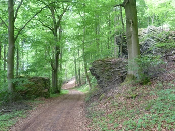
Parallel to the Dönchebach brook runs the always slightly ascending path up to the
to the Bismarck Tower. About halfway up the trail, you will get a view of the
former farm buildings of the "Marie Colliery", which mined lignite for 100 years until
1966.
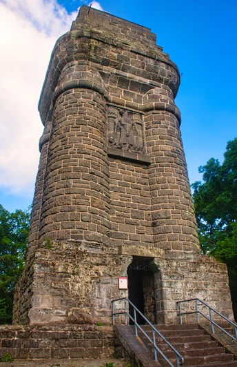
The 25.5 m high Bismarck Tower offers a fantastic view of Kassel and the Kassel Basin. With good visibility, the Brocken and the Hohe Meißner can be seen. The tower is freely accessible.
Good to know
Pavements
Unknown
Best to visit
suitable
Depends on weather
Tour information
Loop Road
Loop Road
Author
Naturpark Habichtswald
Organization
License (master data)
Social Media
Nearby


