- Photos & Map
How would you like to arrive?
- Description
- Waypoints
- Good to know
- Nearby
Download GPX file
- 6:50 h
- 25.07 km
- 392 m
- 418 m
- 288 m
- 448 m
- 160 m
- Start: Church Hohndorf
- Destination: Church Hohndorf
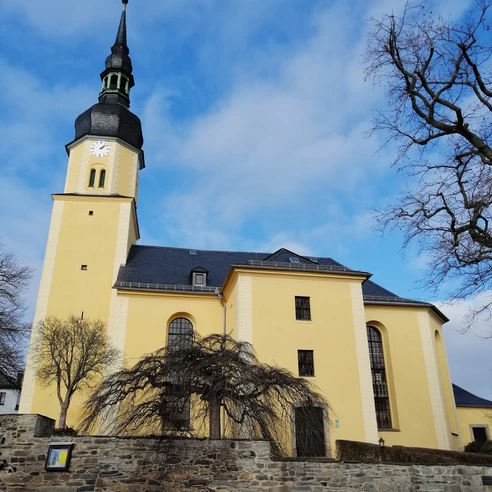
Highlights of this route include the viewpoints Leitenberg, Steinpöhl, and the high path to Schönbach. The church in Hohndorf is a sight on the cultural path of the Vögte. A detour to the Elsterberg castle ruins is worth it.
If the entire route is too long, two signposted route variants of 10 or 16 km are available (see route description).
Waypoints
Good to know
Pavements
Best to visit
Directions
From Hohndorf you walk out along a farm road to Tremnitz and the Tremnitz dam. You cross to the other side either over the dam or below it via a creek bridge. Through a small forest area you reach the crossroads at the Swallow Bridge and, keeping left, uphill to Pansdorf and the Leitenberg viewpoint. Through the Loosbach valley and past the Kulm rest hut, you reach a crossroads from where you can go left back to Hohndorf (red horizontal bar).
Continuing right on the circular route, you pass Schädlich's pond and see an old coat of arms stone before Gablau. From Gablau you take a side road to Leiningen, a unique widespread scattered settlement in the area. Then the route leads to the Steinermühl pond. From here you can go left back to Hohndorf (yellow horizontal bar).
Our circular route now leads steeply upwards to the viewpoints at Steinpöhl and along the beautiful high path to Schönbach. At Dreimädelhaus, the B 92 is crossed, and on the Kirchsteig and the Old Salt Road you come to Cossengrün. The village is crossed, and on field paths you reach Görschnitz. Then it goes downhill over meadows and through forest to the "state border" at the B 92. After carefully crossing the road again, a last steep path leads up to Hohengrün and soon you reach Hohndorf, the starting point of the route, again.
Tour information
Loop Road
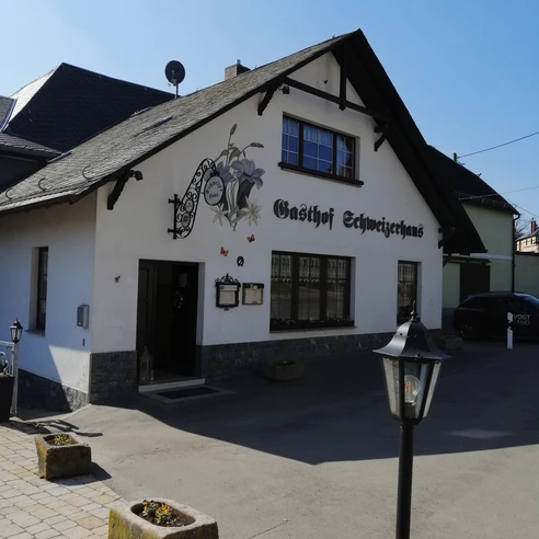
Stop at an Inn
Directions & Parking facilities
You can reach Hohndorf by PRG regional transport: www.bus-greiz.de. Alternatively, take the Vogtlandbahn to Elsterberg-Kunstseidenwerk and use the district Gippe as the starting point for the circular hiking route.
Additional information
Author
Tourismus Marketing Gesellschaft Sachsen mbH
Organization
Vogtland - Sinfonie der Natur
License (master data)
Vogtland - Sinfonie der Natur
Author´s Tip / Recommendation of the author
Nearby
