- Photos & Map
How would you like to arrive?
- Description
- Good to know
- Nearby
Download GPX file
- 3:00 h
- 10.65 km
- 206 m
- 206 m
- 403 m
- 501 m
- 98 m
- Start: Schützenplatz, Schmallenberg - Alternative at Sportplatz Wormbacher Berg
- Destination: Schützenplatz, Schmallenberg - Alternative at Sportplatz Wormbacher Berg
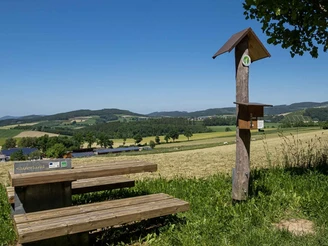
The hike offers beautiful views over wide distances into the Hawerland, towards Bad Fredeburg, and at the end of the hike over Schmallenberg.
Good to know
Best to visit
Directions
Always follow the hiking sign S4.
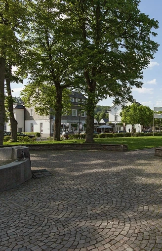
The route starts at the Schützenplatz in Schmallenberg. Where Ost- and Weststraße meet, we head towards the roundabout decorated with flowers by the artist Gabriele Schulz. Here we turn left into Wormbacher Straße and hike in the direction of Sportplatz Wormbacher Berg. At the curve, we continue uphill along Wormbacher Straße. At the top, we turn left into Heidenstraße and follow it to the parking lot at Sportplatz Wormbacher Berg. Here is an alternative starting point for the hike.
At the sports field, by the Oberstadthütte, we go straight ahead (path with a barrier). After about 500 meters, we turn right at a junction and shortly after left. Upon reaching the paved path, we turn left again and stay on the path until we reach the buildings of the airfield and the road to Wormbach. We cross the road and follow it downhill towards Wormbach. When the first houses of Wormbach come into view, we turn left, pass the bird pole of the Wormbach marksmen and some carved wooden figures.
When we reach the cross path, we have the option to take a short detour to the chapel on the Kreuzberg. Here we enjoy a wonderful, wide view over the Hawerland, up to Bad Fredeburg and the Hunauturm. The installed listening post there provides information about Storm Kyrill and its consequences.
After the detour, we continue on S4; soon the landscape opens up and offers a view of the Hawerland. We stay on the path until we reach a barrier. Behind it, we walk slightly uphill on the paved path. At the listening post "Riesenbank," with information about land consolidation, we turn left and climb the road. At the top, we turn right and stay on the paved road that takes us to the small village of Werpe. At the road, at the signpost "Werper Wehrsiepen," we take a few steps to the left, cross the road, and follow the path through the meadows towards the airfield.
At the end of this path, we turn right, cross the road to Werpe (L737), and continue uphill straight ahead. At the memorial site "Werper Kreuz," we turn left, stay on the path, and walk through the underpass of the L737. At the end of the path, we turn left and after a few meters turn right. Shortly after the first houses of Schmallenberg, the hiking trail leads us uphill on the left. A small staircase on the left guides us through between the houses. Now we turn right. At the end of the short path, the hike either leads left back to Wormbacher Berg or right, always downhill, on the known path back to Schmallenberg Schützenplatz.
Tour information
Loop Road
Equipment
Directions & Parking facilities
Bus lines S40, S90, 466, and 461 run in Schmallenberg. To get to the starting point of the route, use the stop "Schützenplatz".
Timetable information: www.rlg-online.de
With the Schmallenberger Sauerland Card, you can travel free of charge by bus and train in the region.
Additional information
In Wormbach, a detour to the St. Peter and Paul Church from the Romanesque period is worthwhile.
Use the numerous dining and shopping opportunities in Schmallenberg, further information can be found at: www.schmallenberg-direkt.de
Author
Schmallenberger Sauerland Tourismus
Organization
Schmallenberger Sauerland Tourismus
License (master data)
Author´s Tip / Recommendation of the author
For a wonderful view, we recommend the detour to the Kreuzberg chapel.
On nice days, you can watch the air traffic at Rennefeld airfield.
Safety guidelines
Map
Hiking map Schmallenberger-Sauerland, scale: 1 : 25,000;
Hiking map gastronomy & specialty shops, scale: 1 : 27,500
Nearby
