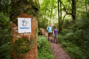
Dream loop Saarhölzbachpfad


- 4:00 h
- 13.15 km
- 294 m
- 294 m
- 241 m
- 472 m
- 231 m
- Start: Hiking parking lot below the Vogelfelsen in Saarhölzbach; (Kirchenstraße, 66693 Mettlach (Saarhölzbach))
- Destination: Hiking parking lot below the Vogelfelsen in Saarhölzbach
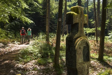
The path steadily climbs gently through the wild romantic Saarhölzbach valley. A few meters below the hiking trail, the Saarhölzbach flows in countless meanders in its natural bed.
Historic boundary stones at the roadside point to a former border. After the First World War, the Saar area was separated from Germany and placed under the administration of the League of Nations.
In the district of the village of Britten stands a Bundsandstein cross by the wayside, the so-called "Kümmer Cross." It stands on the path that the people of Britten walk annually in May on their pilgrimage to the image of grace in Beurig. Petrus Pelcer, a stonemason from Britten, erected the cross in 1761.
Between the 17th and 19th centuries, the Britten Bundsandstein was quarried in over twenty stone quarries around Britten.
Through the extensive forest area "Hundscheid," the trail runs downhill to the Hundscheider pond, then continues along the Hundscheider Bach downhill to the highlight of the route: the Vogelfelsen above Saarhölzbach. The rock rises nearly 150 meters from the Saar riverbank. From the viewing platform above the rock, there is an impressive view over the course of the Saar.
The path was rated with 71 experience points by the German Hiking Institute.
Good to know
Best to visit
Tour information
Loop Road
Loop Road
Author
Frank Polotzek
Organization
Saarland
License (master data)

Nearby

Download GPX file