- Photos & Map
How would you like to arrive?
- Description
- Good to know
- Nearby
- 5:15 h
- 19.24 km
- 28 m
- 17 m
- 30 m
- 50 m
- 20 m
- Start: Rheine train station
- Destination: Hörstel wet triangle or Hörstel railroad station
- Start and finish point of the stage
The route starts at the train station in Rheine in the flat Münsterland region and leads along the gently flowing Bevergerner Aa to the idyllic town center of Bevergern. - Length of the stage in kilometers / elevation gain / route character
The stage is approx. 20 kilometers long, largely flat and easy to walk. - Scenic features
The route runs from the picturesque Ems floodplains to the drier and less nutrient-poor areas of the Gellendorfer Mark and the "Wilden Weddenfeld". This is an inland dune landscape that is almost completely forested. Characterized by old forests, pines and gnarled oaks, but also by flowering rough pastures, heathland and junipers, the landscape is unique and fascinating.
Highlights on the route
- The Bentlage recreation area in Rheine offers a beautiful combination of nature and culture. The former saltworks in the Salinenpark are a reminder of the time when salt was mined between green spaces and old trees with historic buildings. The Naturzoo Rheine is also located here and is a popular excursion destination for families with its native and exotic animals.
- The lock system of the Dortmund-Ems Canal near Hörstel is a technical masterpiece. Here, visitors can watch ships passing through and gain an impression of how the locks work.
- The Kunsthaus Kloster Gravenhorst in Hörstel is a former monastery that is now used as an art and cultural center. Not only can you visit exhibitions here, but you can also explore the historic monastery church with mill, bakery and brewery.
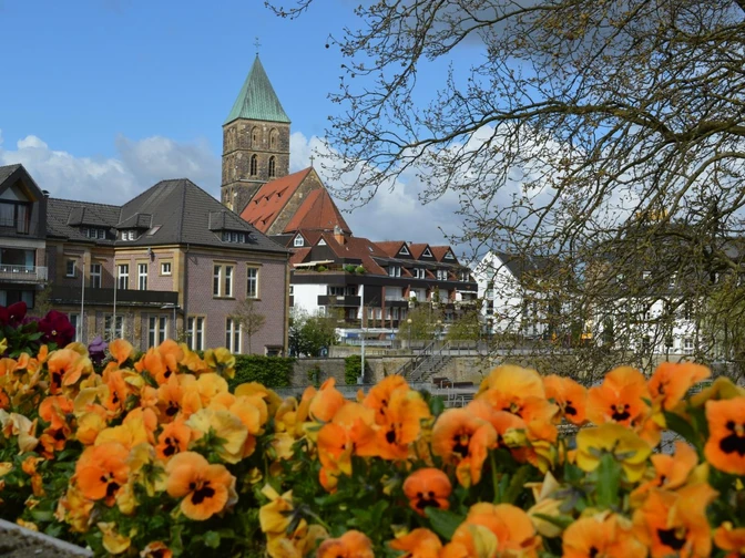
- The historic town center of Bevergern in Hörstel has numerous well-preserved half-timbered houses and small stores.
You can also find a good interactive map from Outdooractive with the stage here.
Good to know
Pavements
Best to visit
Directions
If you want to complete the hike after this stage of the Hermannshöhen, follow the Hermannshöhen access trail to Hörstel train station. Here you can catch local transport back to the starting point in Rheine.
At the end of the stage you will find the following quality establishment der Hermannshöhen:
- Hörstel OT Riesenbeck: Hotel Riesenbeck, Tel. 05454-3969895, www.hotel-riesenbeck.de
Tour information
Good Connection to public Transport
Possibility of Accommodation
Premium Trail "Wanderbares Deutschland"
Suitable for Winter
Tour with Dog
Equipment
Directions & Parking facilities
A30 Rheine Nord, direction city center to the train station
.Navi destination address: Bahnhofsstraße, Rheine
Bahnhofstraße 32, 48431 Rheine
approx. 175 m to the trail
Parking along the route
Parking lot at the stadium
Hörstkamp 19, 48431 Rheine
approx. 100 m to the pathBus stop of the Stadtwerke
C8 Bustreff Rheine - Dutum/Waldhügel
Parking lot zum Weddenfeld
Zum Weddenfeld 33, 48432 Rheine (300m further)
approx. 350 m to the pathBus stop Elte, Wischmannstraße
C6 Rheine Bustreff - Elte/Mesum
The smart number for buses and trains in NRW:
Electronic timetable information: 08006 - 50 40 30 (free of charge)
OWL Verkehr GmbH: 05231/977 681
Bus timetable information online: westfalentarif.de
Additional information
Author
Ina Bohlken
Organization
Projektbüro Hermannshöhen
License (master data)
Nearby


