Hiking route 'Rippenfarn' (Deer fern) (Grafenhütt - Lusen)

- 9:00 h
- 24.60 km
- 1,140 m
- 275 m
- Start: Grafenhütt, 94481 Grafenau
- Destination: Lusen
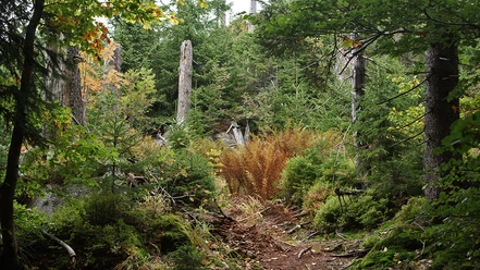
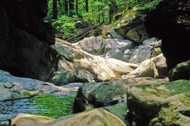
The 'Rippenfarn' (Deer fern) hiking trail connects the villages of Grafenhütt, the town of Grafenau, as well as the municipalities of Elmberg, Schönanger, and Neuschönau with the National Park. It passes through diverse forests, past the Sagwasserklause, and ultimately reaches the boulder field on the summit of Lusen.
Good to know
Best to visit
- suitableDepends on weather
Contact person
Hans-Eisenmann-Haus
Nationalparkzentrum LusenBöhmstr. 3594556 NeuschönauAuthor
Nationalparkverwaltung Bayerischer Wald
Freyunger Str. 294481 GrafenauOrganization
Nationalparkverwaltung Bayerischer Wald
License (master data)