Löbauer Berg


- 1:50 h
- 6.01 km
- 201 m
- 201 m
- 239 m
- 440 m
- 201 m
- Start: Löbauer Bus Station
- Destination: Löbauer Bus Station
Due to its good location, this summit offers an excellent view. To the south rises the Kottmar and behind it the mountain range of the Zittau and Lusatian Mountains; to the east, you can see Rotstein as well as the Landeskrone near Görlitz; with sufficient visibility, the mountains of the Jizera and Giant Mountains can be seen. Further north, the Königshain Hills are visible, followed by the vast plain in the north of Upper Lusatia, from which the silhouette of the lignite power plant Boxberg stands out. To the northwest, the view extends to the towers of the town Bautzen as well as the Hochstein.
Good to know
Best to visit
suitable
Depends on weather
Tour information
Summit
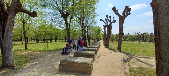
Tour with Dog
Author
Tourismuszentrum Naturpark Zittauer Gebirge
Organization
Das Landschaftswunderland Oberlausitz
License (master data)
Tourismuszentrum Naturpark Zittauer Gebirge

Nearby