Plauen circular hiking route - stage 1: Reusa - Südvorstadt


- 1:26 h
- 5.33 km
- 103 m
- 114 m
- 372 m
- 486 m
- 114 m
- Start: Tram terminus Reusa, line 4
- Destination: Tram terminus Südvorstadt, line 5
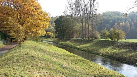
Attractions: Gondelteich Kleinfriesen, Kleinfriesener Str. 62 (below the tram terminus), Kemmler (507 m high) with observation tower (19 m high), beautiful panoramic view over Plauen and the Vogtland, usable barbecue area at Kemmler
Good to know
Pavements
Best to visit
Directions
Marking white-yellow-white
Tram terminus Reusa – Rotdornweg – Apfelbaumweg – path parallel to Schäfereiweg – crossing Tauschwitz Street – forest path parallel to Kemmlerblick street – left – footpath at the edge of the village Waldesruh – crossing Kemmler Street – to Waldesruh (direction Brand) – forest path to Kemmler – forest path through Reinsdorfer forest up to Kemmler Street – Oelsnitzer Street (B 92) to Leibniz Street – tram terminus Südvorstadt (line 5)
Tour information
Loop Road
Stop at an Inn
Directions & Parking facilities
The start and end points of this section are tram termini of the Plauen tramway (Reusa: line 4, Südvorstadt: line 5). Information on timetables and tickets is available at www.strassenbahn-plauen.de
Additional information
Dining options:
- Snack bar at Elbel Butchery, Falkensteiner Str. 39 (500 m from tram terminus), Tel.: 03741 - 443266, closed Sundays
- Numerous dining options in the city center
Author
Anika Seidel
Organization
Vogtland - Sinfonie der Natur
License (master data)
Anika Seidel

Author´s Tip / Recommendation of the author
Kemmler
The Kemmler (507m high) is located about 3.5 km south of the city center of Plauen. The mountain with the nearly 19-meter-high observation tower, built in 1902 from square granite blocks, is a popular excursion destination. It offers a fantastic panoramic view over the city of Plauen and the Vogtland region.
Nearby


Download GPX file