Plauen circular hiking route - Stage 2: Südvorstadt-Neundorf


- 2:38 h
- 9.94 km
- 131 m
- 108 m
- 341 m
- 422 m
- 81 m
- Start: Tram terminus Südvorstadt, line 5
- Destination: Tram terminus Neundorf, lines 1 and 3
The Plauen circular hiking route is divided into 4 sections of varying lengths. Convenient here is the good location of the tram stops. This stage starts in the Südvorstadt and leads via Thiergarten and Straßberg to Neundorf.
Waypoints

Good to know
Pavements
Best to visit
Directions
Marking white-yellow-white
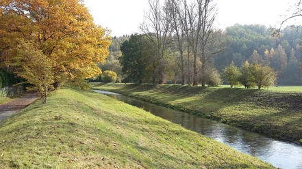
Tram terminus Südvorstadt – Leibnizstraße – tourist path – forest area “Schwarzes Holz” – right Meßbacher Weg – crossing Milmesbach – crossing Hofer Landstraße (B 173) – right along Hofer Landstraße to junction Zum Burgteich – to the forest settlement – path into the green – Possigweg – crossing bridge – riverside path along the Weiße Elster to Straßberg mill – main street – church path through railway underpass – Steingasse – Straßberg border path – at Steinpöhl – meadow path ascent to Steinpöhl – Blechschmidtweg – Eichhübelweg – Neundorf street – tram terminus at Rosa-Luxemburg-Platz
Tour information
Cultural Interesting
Loop Road
Author
Anika Seidel
Organization
Vogtland - Sinfonie der Natur
License (master data)
Anika Seidel

Author´s Tip / Recommendation of the author
Straßberg Church
The Straßberg Church was built in 1576. In 1978, the church, along with its furnishings and organ, was listed as a historic monument. The organ was made by Johann Gottlob Trampeli from Adorf in 1804, the incomplete carved altar with painted wings comes from a Hof workshop around 1500.
Nearby


Download GPX file