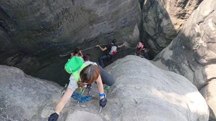
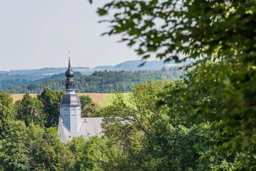
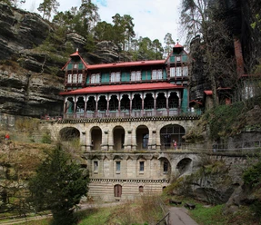
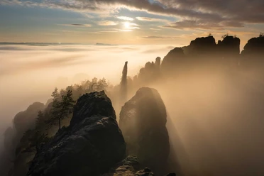
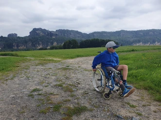
Ridge hike on the Schrammsteine

- 2:50 h
- 7.43 km
- 368 m
- 363 m
- 119 m
- 399 m
- 280 m
- Start: Schmilka, ferry landing or bus stop
- Destination: Bus stop Postelwitz, Ostrau junction
Schmilka – Roßsteigel – Elbleitenweg – Breite Kluft (+ viewpoint) – ridge path – Schrammsteine viewpoint – Jägersteig – Schrammtor – Obrigensteig – Zahnsgrund – Postelwitz
Good to know
Pavements
Unknown (36%)
Street (1%)
Asphalt (7%)
Gravel (21%)
Trail (3%)
Path (32%)
Best to visit
suitable
Depends on weather
Tour information
Stop at an Inn
Summit
Author
Amrei Voigt (NLPFV)
Organization
Tourismusverband Sächsische Schweiz
License (master data)
Amrei Voigt (NLPFV)

Nearby