Road cycling route through Saxon Switzerland


- 5:55 h
- 97.88 km
- 1,329 m
- 1,329 m
- 112 m
- 465 m
- 353 m
- Start: Central bus station/train station Pirna
- Destination: Central bus station/train station Pirna
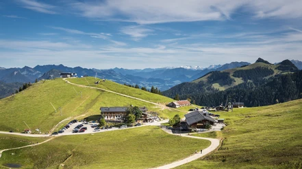
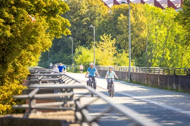
Not only the marked cycling routes in the national park, but also the Königstein-Bahratal-Cunnersdorf area can best be explored by road bike or gravel bike. Behind almost every corner, a new panorama opens up. This route leads on bike paths north of the Elbe valley and offers insight into the stone areas around Gohrisch and Königstein.
Good to know
Pavements
- Street (58%)Asphalt (32%)Gravel (9%)Trail (1%)
Best to visit
- suitableDepends on weather
Tour information
Loop Road
Loop Road
Stop at an Inn
Author
Mandy Krebs
Organization
Tourismusverband Sächsische Schweiz
License (master data)
Mandy Krebs

Nearby


Download GPX file