Saar-Köllertal route


- 3:30 h
- 58.40 km
- 287 m
- 293 m
- 177 m
- 359 m
- 182 m
- Start: Völklingen/Wehrden, parking lot at the Saar/Rossel confluence
- Destination: Völklingen/Wehrden, parking lot at the Saar/Rossel confluence
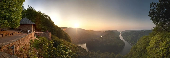
Varied full-day route through the Köllertal and especially scenic over the ridges of the central Saarland to Saarlouis and along the Saar back to Völklingen.
Route course: Völklingen - Püttlingen - Köllerbach - Walpershofen - Heusweiler - Mangelhausen - Wiesbach - Hof Großwald - Eichenhof - Falscheid - Saarwellingen - Steinrausch - Saarlouis - Lisdorf - Wadgassen - Völklingen
This route is not marked with its own logo.
Follow the Köllertal bike path with the green Saarland logo towards Püttlingen. At Mangelhausen at the junction, turn sharply left and follow the Saar-East-Ridge bike path with the red Saarland logo towards Saarwellingen. From the Saarlouis ferry terminal, follow the blue Saarland logo of the Saar bike path.
Good to know
Best to visit
Tour information
Loop Road
Loop Road
Author
Miriam Dubois
Organization
Saarland
License (master data)

Nearby
Download GPX file