Stadtwald Route Miesbach


- 0:55 h
- 5.97 km
- 81 m
- 81 m
- 676 m
- 757 m
- 81 m
- Start: Parking lot Warmbad
- Destination: Parking lot Warmbad
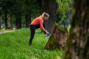
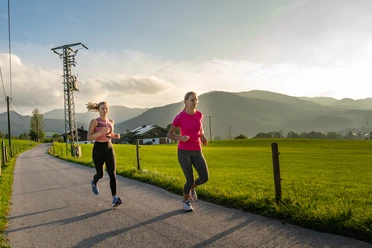
The moderately difficult Stadtwald route first runs along the Schlierach and through Miesbach. Soon it leads over hiking trails through the Stadtwald and continuously gently ascending through the Schopfgraben, past the Märchenweiher up to Gut Lichtenau. This is the highest point, and on a lightly trafficked road we run back to Schweinthal and soon through Miesbach back to Warmbad.
This route is not particularly long at 6 km and with 90 meters of elevation gain is easy to moderate. It mostly runs on paved paths or simple hiking and forest trails and is thus also suitable for beginners.
The 'Laufpark Miesbach Hausham' is supported by the Bavarian State Ministry for Food, Agriculture and Forestry and the European Agricultural Fund for Rural Development (EAFRD). The Laufpark Hausham Miesbach was opened in summer 2022.
Good to know
Best to visit
- suitableDepends on weather
Tour information
Loop Road
Loop Road
Author
Regionalentwicklung Oberland
Organization
Alpenregion Tegernsee Schliersee
License (master data)

Nearby

Download GPX file