To Klein- and Großhartpenning


- 1:45 h
- 4.85 km
- 57 m
- 10 m
- 698 m
- 755 m
- 57 m
- Start: Holzkirchen, West
- Destination: Holzkirchen, West
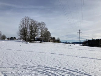
The entry to the trail is near the B13 towards Bad Tölz. The trail runs sunny and mostly on flat terrain to Klein- and Großhartpenning - making it ideal for beginners. At the southernmost point, there is also the possibility to switch to the trails around Großhartpenning.
The trail is groomed for skaters and classic cross-country skiers.
Good to know
Best to visit
suitable
Depends on weather
Tour information
Barrier-Free
Familiy-Friendly
Loop Road
Loop Road
Stop at an Inn
Author
Markt Holzkirchen Standortförderung
Organization
Alpenregion Tegernsee Schliersee
License (master data)

Nearby


Download GPX file