Traumschleife Almglück


- 1:45 h
- 6.45 km
- 194 m
- 188 m
- 340 m
- 528 m
- 188 m
- Start: Hiking parking lot at the Harteichhütte, 66687 Wadern-Wadrill (Zur Alm, 66687 Wadern)
- Destination: Hiking parking lot at the Harteichhütte, 66687 Wadern-Wadrill
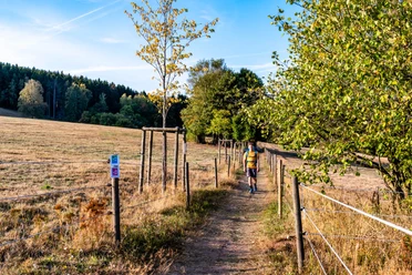
The 6 km route leads along the Hahnenbruch down into the Wadrill valley. Along the bank of the rushing Wadrillbach and through the Lautenbachtal, it goes back up onto the Hochwald ridge.
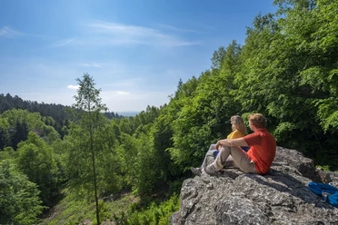
The experience of the untamed Wadrill flowing a bit beside the path is also very beautiful. Often you will be led over narrow paths, and above the Hochwaldalm, a magnificent view opens up.
The path was rated with 75 experience points by the German Hiking Institute.

Good to know
Best to visit
suitable
Depends on weather
Tour information
Cultural Interesting
Familiy-Friendly
Loop Road
Loop Road
Stop at an Inn
Author
Joanna Czyrny
Organization
Saarland
License (master data)

Nearby
Download GPX file