- Photos & Map
How would you like to arrive?
- Description
- Good to know
- Nearby
Download GPX file
- 3:45 h
- 12.17 km
- 357 m
- 357 m
- 175 m
- 264 m
- 89 m
- Start: Waldheim, Niedermarkt
- Destination: Waldheim, Niedermarkt
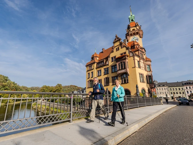
The Waldheim ridge circular route is one of many developed hiking options around the town on the Zschopau River. The scenic hike covers about 13.5 km and brings the hiker to various ridges such as Carola or Schillerhöhe, Spitz or Wachberg. Each elevation individually, as well as the Wachberg Tower, offers a charming view of the town on the Zschopau River.
Good to know
Pavements
Best to visit
Directions
Tour information
Loop Road
Equipment
Sturdy footwear or sports shoes, water and provisions if needed.
Directions & Parking facilities
By car: Follow A14 to B169 in Großweitzschen, take exit 34-Döbeln-Nord on A14. Follow B169, Am Berg, Döbelner Str., and Waldheimer Str. to Niedermarkt in Waldheim.
- Train: Waldheim Station
- Public transport: Take RB110 to Leisnig station, then bus line 924 to Waldheim, Niedermarkt.
Additional information
Author
Verena Daser
Organization
LEIPZIG REGION
License (master data)
Author´s Tip / Recommendation of the author
- Heiligenborn Viaduct
- Diedenhain Viaduct
- Wachberg Tower (key in the museum house)
- Napoleon Stone
- St. Nicolai City Church
- Waldheim City & Museum House
Nearby


