- Photos & Map
How would you like to arrive?
- Call
- Description
- Good to know
- Nearby
- 4:15 h
- 15.13 km
- 263 m
- 329 m
- 246 m
- 382 m
- 136 m
- Start: Linderhofe hiking parking lot, Sternberger Straße/Lüdenhausener Straße
- Destination: Bavenhausen village square, Bavenhauser Straße/junction with Holländer Weg
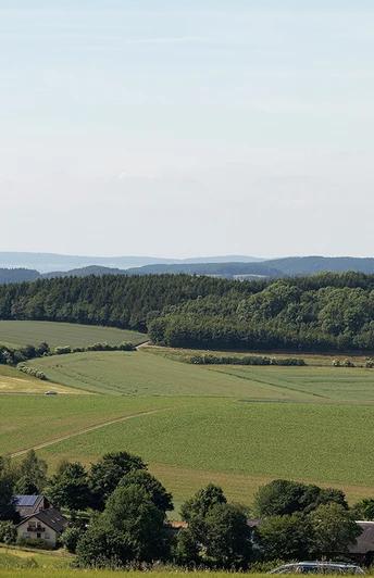
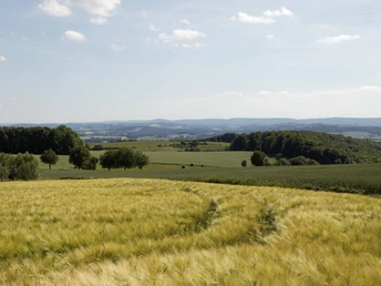
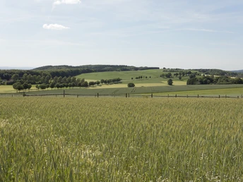
From Linderhofe, the route leads over the Steinberg. At Krubberg and Kleeberg, hikers can enjoy sweeping views of the south-western Kalletal valley, towards Lemgo and Hillentrup in the neighboring municipality of Dörentrup. The Kleeberg is home to the airfield of the Lemgo e. V. model flying club from 1967, which finds the best conditions here. At the idyllically situated Niedermeien riding facility, hikers will find a nice place to take a break with a seating area and landscape lounger. Shortly before the stage finish in Bavenhausen, the route passes the Teimer, the oldest nature reserve in Lippe. Past the refuge and sports field, the Bavenhausen windmill greets you from afar from the Windberg. Once at the top, a panoramic view seating area offers the opportunity for a final rest.
Start: Linderhofe hiking parking lot (junction of Sternberger Straße and Lüdenhausener Straße, Extertal)
Start: Linderhofe hiking parking lot (junction of Sternberger Straße and Lüdenhausener Straße, Extertal)
Good to know
Best to visit
suitable
Depends on weather
Directions & Parking facilities
Start: Hikers' parking lot Linderhofe (junction Sternberger Straße / Lüdenhausener Straße, Extertal)
Start: Hikers' parking lot Linderhofe (junction Sternberger Straße / Lüdenhausener Straße, Extertal)
Contact person
Lippe Tourismus & Marketing GmbH
Mr. Jan Wisomiersky
Grotenburg 52
32760 Detmold
Author
Herr Jan Wisomiersky
License (master data)
Lippe Tourism & Marketing GmbH
Nearby
