


- 3:30 h
- 10.06 km
- 189 m
- 190 m
- 64 m
- 193 m
- 129 m
- Start: Bahnhof Hennef (Sieg). Alternativ: Hiking parking lot Siegdamm
- Destination: Bahnhof Hennef (Sieg). Alternativ: Hiking parking lot Siegdamm
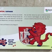
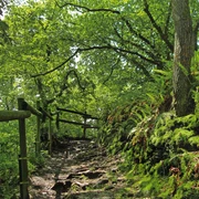
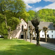
Did you know that wine used to be grown in the Siegtal? That monks mined on the river? If you look closely, you will discover a lot: the lower Siegtal is part of cultural landscape that man has created over 1000 years. On your exploratory tour though meadowrich foorplains and over lonely mountain ridges, information stations tell of an eventful history.
Good to know
Best to visit
Directions
Tour information
Loop Road
Equipment
Directions & Parking facilities
Alternatively: Siegdamm hiking parking
Additional information
The Sieg adventure trails are completely marked with the red logo. You will find displays with overview maps and further information on places to stop and stay overnight as well as on places of interest at the starting points of each adventure trail.
Literature
Author
Naturregion Sieg
Organization
Rhein-Sieg Tourismus
License (master data)

Author´s Tip / Recommendation of the author
Map
Nearby