Groimecke circular route - historic route


- 3:50 h
- 15.92 km
- 206 m
- 206 m
- 569 m
- 715 m
- 146 m
- Start: Hiking portal at Lambertusplatz, town center Winterberg-Grönebach
- Destination: Hiking portal at Lambertusplatz, town center Winterberg-Grönebach
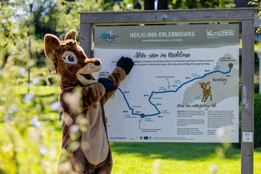
The hiking trail is named after the place in Sauerland dialect – Grönebach equals Groimecke. We can expect a very beautiful route on mostly easy-to-walk, mostly natural paths. Sections in the forest alternate with those over open areas and panoramic trails with wonderful views. We walk a section on the Rothaarsteig, a recently established hiking trail. We also walk on historic roads. The Heidenstraße was a connection route between Cologne and Leipzig in the Middle Ages as a trade, military and pilgrim route; the Alte Königsstraße led from Frankfurt to Soest. We cross, among others, the historic Kirchweg, which was used from Elkeringhausen towards Grönebach until the early 1860s, and walk a section on the route of the old narrow-gauge railway, which ran from Steinhelle to Medebach until the early 1950s. On a small loop, deviating from the circular route, we visit the source of the Ruhr.
© Wandermagazin
Good to know
Best to visit
Tour information
Cultural Interesting
Loop Road
Loop Road
Stop at an Inn
Author
Ronja Henke
Organization
Ferienwelt Winterberg
License (master data)

Nearby

Download GPX file