Herzhausen Panorama Route

- 2:36 h
- 9.27 km
- 236 m
- 236 m
- 311 m
- 418 m
- 107 m
- Start: Dirlenbacher Straße
- Destination: Dirlenbacher Straße
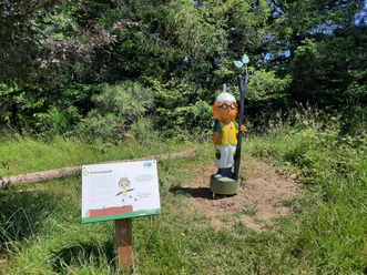
This route takes you once around Herzhausen. The starting point of the hike is the triangular area with a picnic island at the corner of Hilchenbacher Straße/Dirlenbacher Weg. Along the way, you hike through a varied landscape with streams, flower meadows, mixed forests, cattle and horse pastures, and a large fallow deer enclosure. Numerous benches, resting recliners, and picnic islands invite you to take a break. At some points, signs with old field and house names line the path. The Herzhausen Panorama Route is consistently marked with an encircled H.

Good to know
Best to visit
suitable
Depends on weather
Tour information
Loop Road
Loop Road
Author
Sarah Grübener
Organization
Touristikverband Siegen-Wittgenstein e.V.
License (master data)

Nearby


Download GPX file