- Photos & Map
How would you like to arrive?
- Description
- Good to know
- Nearby
- 4:35 h
- 64.26 km
- 243 m
- 166 m
- 48 m
- 188 m
- 140 m
- Start: Sieg estuary in Mondorf
- Destination: Sieg waterfall in Schladern
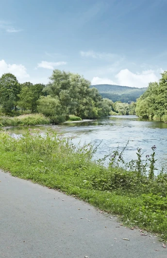
How about a route with an overnight stay? Or just see how far you get? On the cycle path directly along the Sieg, you reach car-free beer gardens, secluded bathing spots, and campsites. The well-distributed train stations along the route give you the opportunity to return by train.
Good to know
Best to visit
Directions
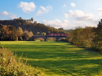
Your route leads from the mouth of the Sieg into the Rhine through extensive floodplains, long dikes with beautiful avenues, and bathing spots. In Hennef, you’ll find a rest option with picnic or bathing opportunities at Allner Lake. Eitorf welcomes you with a beer garden and beach volleyball. From here, the route makes a detour to a hillside where you have the opportunity to fill your water bottle with spring water from the mountain. From Windeck, back along the Sieg, it becomes idyllic: with a spa park, café, and bathing beach. Later, in Hoppengarten, a shallow ford offers a nice opportunity for a rest with your feet in the water. After a stretch along the newly laid Sieg promenade in Dattenfeld, you reach the Siegfall with a beer garden, cultural center, tourist info, and visitor center. Have fun at the end of your route!
Tour information
Stop at an Inn
Directions & Parking facilities
With the train, you can easily reach any starting point and return to the starting point by train.
The starting point Niederkassel-Mondorf can be reached on the right bank of the Rhine via the DB station Bonn-Beuel and on the left bank via the DB station Bornheim-Roisdorf (then Mondorf ferry). You can also arrive by bike via the Rhine cycle path.
Author
Naturregion Sieg
Organization
Rhein-Sieg Tourismus
License (master data)
Author´s Tip / Recommendation of the author
Overnight stay at the Happach campsite in Eitorf or the Dattenfeld campsite in Windeck
Nearby
