- Photos & Map
How would you like to arrive?
- Description
- Good to know
- Nearby
Download GPX file
- 3:50 h
- 54.42 km
- 657 m
- 660 m
- 86 m
- 344 m
- 258 m
- Start: Parking lot Schützenstraße
- Destination: Parking lot Schützenstraße
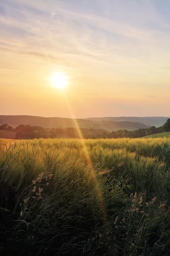
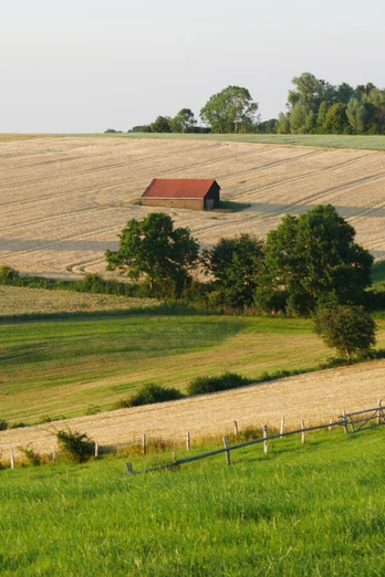
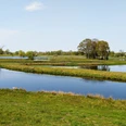
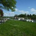
Admittedly, you can expect significant differences in altitude with a climb on this 55 km route. But the enjoyment and horizon definitely make up for this, I promise! The landscape here is dominated by the light-colored shell limestone, which, with two massive high plateaus, provides the aforementioned metres in altitude. So if you need to catch your breath at the top, give in to your spirit of discovery and explore the villages at this altitude. Downhill, the route takes you through deep mixed forests all the way to the Weser, while the Bever, Nethe and Grube rivers in the meadow valleys determine the course of the tour. With so much water, the fresh fish can't be far away.
Good to know
Best to visit
suitable
Depends on weather
Directions
The tour is integrated into the NRW cycle path network and is signposted throughout. A fish on a blue background points the way at crossing points.
The tour can be shortened very well between Höxter-Godelheim and the mouth of the Nethe river if one of the steep climbs was already enough.
The tour can be shortened very well between Höxter-Godelheim and the mouth of the Nethe river if one of the steep climbs was already enough.
Tour information
Culinary Interesting
Good Connection to public Transport
Labelling
Loop Road
Stop at an Inn
Suitable for Bike
Equipment
The tour is particularly enjoyable on an e-bike.
Directions & Parking facilities
Free parking is available at the Schützenstraße parking lot in Beverungen.
The tour can be easily reached with the NordWestBahn (RB84/RB85). The stations Höxter-Ottbergen, Höxter-Godelheim, Höxter-Rathaus and Beverungen-Wehrden are virtually directly on the tour.
Contact person
Author
License (master data)
Texts by Carolin Schnückel
Safety guidelines
On a short section between Drenke and Bevertal, the path is steep and not asphalted. There are also gullies across the road to drain water. Cyclists should dismount here and at least push their bike downhill!
Nearby
