- Photos & Map
How would you like to arrive?
- Description
- Good to know
- Nearby
Download GPX file
- 2:15 h
- 8.83 km
- 22 m
- 22 m
- 106 m
- 117 m
- 11 m
- Start: Rackwitz, Haynaer Street
- Destination: Rackwitz, Haynaer Street
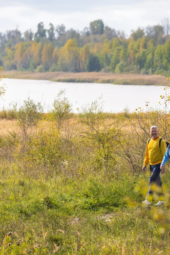
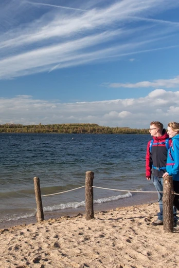
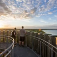
The Schladitzer See in the north of Leipzig is part of a recreational area that emerged from the recultivation of a former large open-cast mine. Nowadays, the beach at Schladitzer Bay, the Biedermeier Beach, and the Wolteritz lake side invite visitors to swim. The continuously asphalted circular path around the lake is suitable for hiking, cycling, and also skating.
Good to know
Pavements
Best to visit
Directions
Tour information
Loop Road
Stop at an Inn
Suitable for Pushchair
Equipment
Sturdy footwear or sports shoes, provisions and water if needed.
Directions & Parking facilities
Accessible by car via the A14
- S-Bahn station (S2): Rackwitz
- Bus 216: Rackwitz, Station - Schladitzer Bay
Additional information
Author
Verena Daser
Organization
LEIPZIG REGION
License (master data)
Author´s Tip / Recommendation of the author
- Water Fun Park
- Lake Stage at the Biedermeier Beach
- Water Sports Station All-on-SEA
Nearby
