Oberdarching route

- 2:24 h
- 12.26 km
- 31 m
- 31 m
- 659 m
- 690 m
- 31 m
- Start: Darching sports field
- Destination: Darching sports field
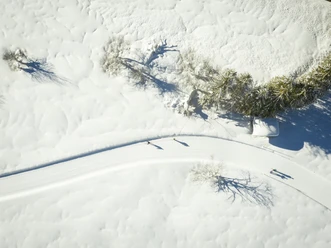
The Oberdarching route connects more or less all three Darching districts over 12 km. It starts in Unterdarching, from where you directly cycle a loop to the south/southwest around Mitterdarching and Oberdarching. East of Oberdarching lies the long turnaround loop, from where you run back parallel to the outward route to the starting point.
Good to know
Best to visit
suitable
Depends on weather
Tour information
Familiy-Friendly
Loop Road
Loop Road
Stop at an Inn
Author
Regionalentwicklung Oberland
Organization
Alpenregion Tegernsee Schliersee
License (master data)

Nearby


Download GPX file