Valley highway and Seilberg route

- 1:08 h
- 5.21 km
- 12 m
- 12 m
- 654 m
- 666 m
- 12 m
- Start: Darching sports field
- Destination: Darching sports field
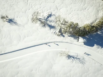
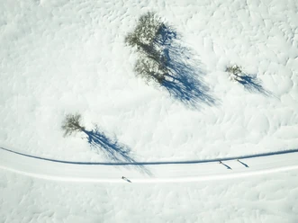
Between the A8 and the district of Unterdarching, the trail runs about 5 km with few altitude meters over open terrain. In good visibility, there is a magnificent mountain panorama.
Good to know
Best to visit
suitable
Depends on weather
Tour information
Loop Road
Loop Road
Author
Regionalentwicklung Oberland
Organization
Alpenregion Tegernsee Schliersee
License (master data)

Nearby

Download GPX file