On Schliersberg and Schliersbergalm


- 4:00 h
- 9.26 km
- 476 m
- 476 m
- 789 m
- 1,264 m
- 475 m
- Start: Schliersee Schweinthal
- Destination: Schliersee Schweinthal
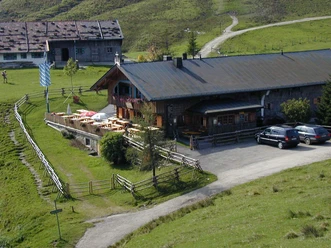
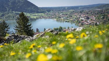
The route presented here is a relatively unknown variant of the route to Schliersbergalm and is also suitable for families with children who enjoy hiking. If necessary, the route can be shortened by cable car or summer toboggan run. Schliersberg (also Rhonberg) is a wooded summit, the best view of the Schliersee and the surrounding mountains can be seen from the Schliersbergalm.
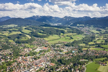
The route can also be done by public transport: a trip with the BRB to Schliersee then forms the start of the route.
Good to know
Best to visit
suitable
Depends on weather
Tour information
Familiy-Friendly
Loop Road
Loop Road
Stop at an Inn
Summit
Author
Regionalentwicklung Oberland
Organization
Alpenregion Tegernsee Schliersee
License (master data)

Nearby
Download GPX file