Accessible circular route around Schliersee


- 2:01 h
- 8.00 km
- 21 m
- 21 m
- 776 m
- 792 m
- 16 m
- Start: Schliersee train station
- Destination: Schliersee train station
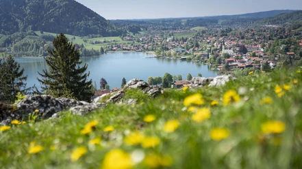
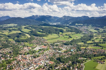
The circular route always runs along the shore of Schliersee, always at a short distance from the shore. It passes by beautiful beaches, a variety of dining options, and repeatedly by stunning views of the mountains. Even in winter, let yourself be overwhelmed by the beauty of a snow-covered nature and a frozen lake.
Good to know
Best to visit
suitable
Depends on weather
Tour information
Barrier-Free
Cultural Interesting
Familiy-Friendly
Loop Road
Loop Road
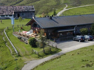
Stop at an Inn
Suitable for Pushchair
Author
Regionalentwicklung Oberland
Organization
Alpenregion Tegernsee Schliersee
License (master data)

Nearby
Download GPX file