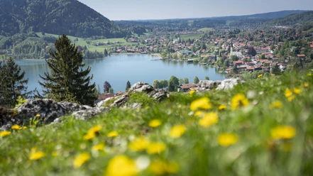
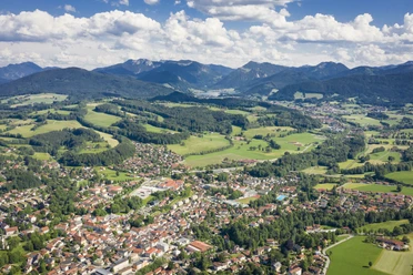
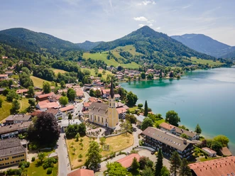
On the Prinzenweg from Schliersee to Tegernsee


- 4:30 h
- 14.11 km
- 570 m
- 633 m
- 733 m
- 1,321 m
- 588 m
- Start: Schliersee
- Destination: Tegernsee
Dining possibilities at Hennerer, in summer on Kreuzbergalm and the 3 Gindelalms, and year-round at Neureuth. The path no longer quite follows the original Prinzenweg, which has become less attractive in recent decades due to many forestry measures. In this form, it offers the desired alpine experiences, sections with paths, and dining opportunities.
Good to know
Best to visit
suitable
Depends on weather
Tour information
Familiy-Friendly
Stop at an Inn
Author
Regionalentwicklung Oberland
Organization
Alpenregion Tegernsee Schliersee
License (master data)

Nearby