Roggersdorf mini route


- 0:40 h
- 3.36 km
- 17 m
- 17 m
- 687 m
- 704 m
- 17 m
- Start: Exit of Holzkirchen towards Roggersdorf (trail map)
- Destination: Exit of Holzkirchen towards Roggersdorf (trail map)
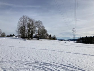
The start is at the exit of Holzkirchen at the cross-country skiing sign. From here it goes north and always along the forest. At the first large junction, the trail leads along the village of Roggersdorf back to the starting point.
The trail is groomed for skating and classic styles.
Good to know
Best to visit
suitable
Depends on weather
Tour information
Familiy-Friendly
Loop Road
Loop Road
Author
Markt Holzkirchen Standortförderung
Organization
Alpenregion Tegernsee Schliersee
License (master data)

Nearby


Download GPX file