Roggersdorfer Sonnenrunde


- 1:10 h
- 6.04 km
- 25 m
- 24 m
- 687 m
- 712 m
- 25 m
- Start: Exit Holzkirchen towards Roggersdorf (trail map)
- Destination: Exit Holzkirchen towards Roggersdorf (trail map)
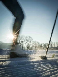
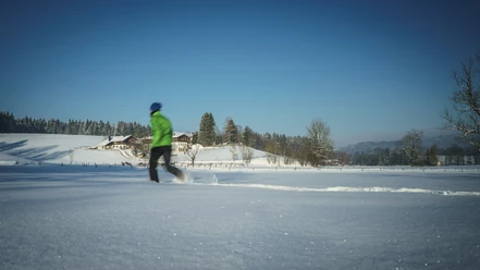
The trail always runs west of Holzkirchen along Haid and Kohlstatt to Roggersdorf and back. In slightly rolling terrain, there are always wonderful scenic impressions.
The entire trail is groomed for classic cross-country skiers and skaters.
Good to know
Best to visit
suitable
Depends on weather
Tour information
Familiy-Friendly
Loop Road
Loop Road
Author
Markt Holzkirchen Standortförderung
Organization
Alpenregion Tegernsee Schliersee
License (master data)

Nearby

Download GPX file