


- 7:20 h
- 27.21 km
- 418 m
- 798 m
- 223 m
- 604 m
- 381 m
- Start: Hiking parking lot Haicher Höhe
- Destination: Dillenburg station
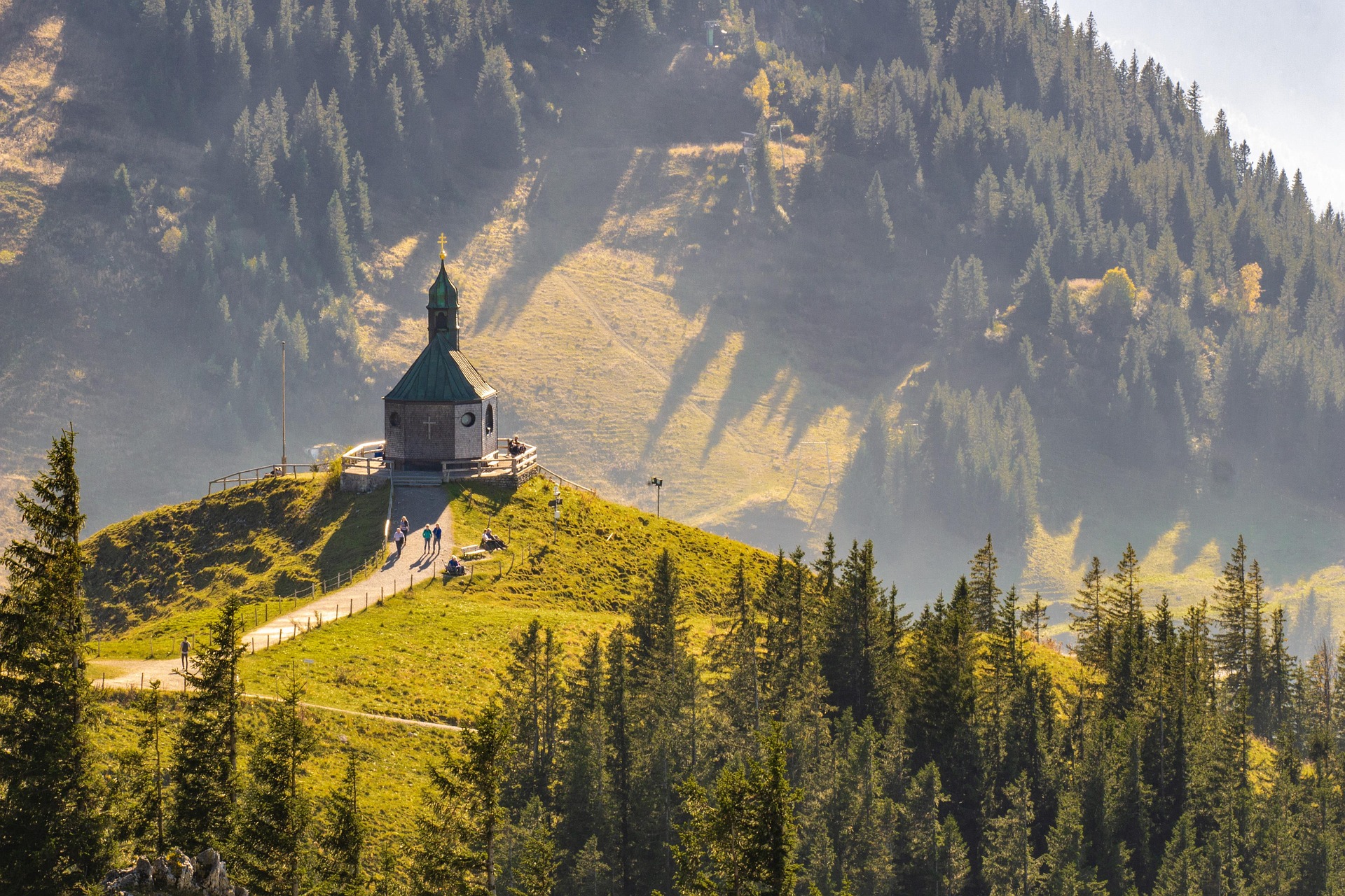
The first goal on this stage hike is a spring: The Dill is a 55 km long tributary of the Lahn and forms the natural border between Hessian Westerwald and Lahn-Dill Upland. Haincher and Gernsbacher (523 m) are followed by the Tiefenrother Höhe (551 m). Here you can enjoy a spectacular view and breathtaking sunsets from the viewing platform "Nose in the Wind".
After a small quarry, you reach the 300 m long Hauberg path, which informatively introduces the Hauberg forestry system. This special form of land use, a combination of agriculture and wood production, arose in the course of iron smelting. After a few meters at the fork "Kalteiche" the Rothaarsteig splits. Here the trail slowly leaves the Rothaar mountains and turns southeast towards the Lahn-Dill Upland. The main route leads directly to Dillenburg. However, the Westerwald variant of the Rothaarsteig leads also to Dillenburg but via the Fuchskaute in the High Westerwald.
On the main route, the natural monument Lucaseiche, with its 27.5 m height and trunk circumference of 3.85 m, is an impressive sight. Past the idyllic Steinbach Forest House, the Rothaarsteig leads down into the Dill valley. The Westerwaldblick viewpoint motivates for a last ascent over the Struth, which leads down to Dietzhölztal. Via the Galgenberg (302 m), it goes into the Oranier city of Dillenburg.
Those who must still catch the last train or do not want to wait any longer for a reward in the form of a refreshment can take a yellow-black marked access path directly into the city center of Dillenburg here. However, nature lovers bypass the city of Dillenburg to the Bismarck temple to enjoy the magnificent view over the entire city with the Wilhelmsturm opposite. On narrow paths, it goes down into the old town of Dillenburg. The Rothaarsteig then leads through the Hofgarten to the train station, the end point of the trail.

Waypoints


Good to know
Best to visit
Tour information
Familiy-Friendly
Labelling
Predicate Trail
Premium Trail "Wanderbares Deutschland"
Tour with Dog
Author
Rothaarsteigverein e. V.
Organization
Touristikverband Siegen-Wittgenstein e.V.
License (master data)

Nearby
